

Preview
Description
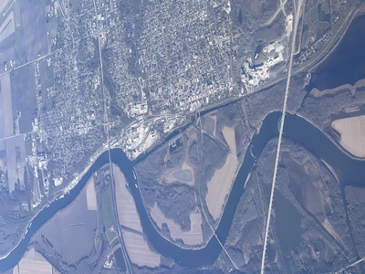
From an aerial perspective, a winding waterway from top to bottom with farm land to the left and town/development to the right. At the bottom of picture there is a teal green bridge over the water for cars.
Date Published
2-13-2024
Creative Commons License

This work is licensed under a Creative Commons Attribution-No Derivative Works 4.0 International License.
Affiliation
Faculty
Keywords
airplane, waterway, bridge, farmland