

Printing is not supported at the primary Gallery Thumbnail page. Please first navigate to a specific Image before printing.
-

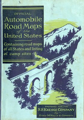
Rand McNally Junior Auto Trails Atlas of the United States
Rand McNally & Company
Road maps of all states, listings of camp sites, and descriptions of national parks and monuments. Map legend includes Jefferson Highway and other highway and trail markers.
-

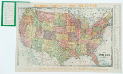
Jefferson Highway: From Pine to Palm
The Kenyon Co., Map Makers
4 pages. Jefferson Highway--From Pine to Palm, map showing the proposed Jefferson Highway route to be hard surfaced by 1919.
